Geospatial Technologies LTD (GeoTech) was formed in 2018 to address the main
challenges in the geospatial industry in the Kingdom of Saudi Arabia.
At GeoTech, we believe that the geospatial industry has far reaching implications in all sectors. Hence, we have been investing aggressively in developing rigorous understanding of the industry, its historical complex situations that led to the current challenges, and its ideal form that enables geospatial economies to grow and thrive.
In addition to the superior understanding of the geospatial industry, and in order to take a leading position in the transformation of this industry and the industries relying on it, we have been aggressively developing smart technologies and data tools that make our uniquely integrated problem-solving approaches more relevant, effective, time and cost efficient. In simple words, we have built an understanding and technical capabilities that enable us to the best in the creation, management, analysis, and sharing geospatial data in the Kingdom of Saudi Arbia. Our geospatial competence encompasses data, technology, people, internal and external policies. The ultimate goal that drives our initiatives is to develop and deepest possible level of intelligence for every location.
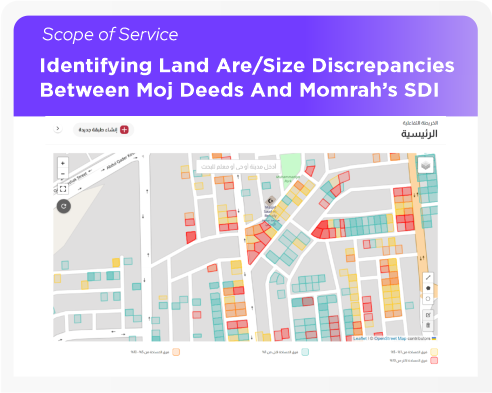
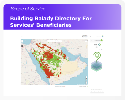
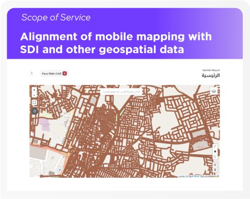
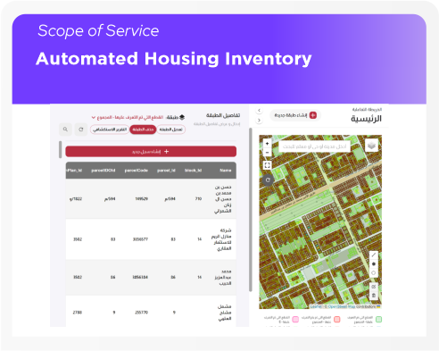
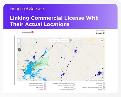
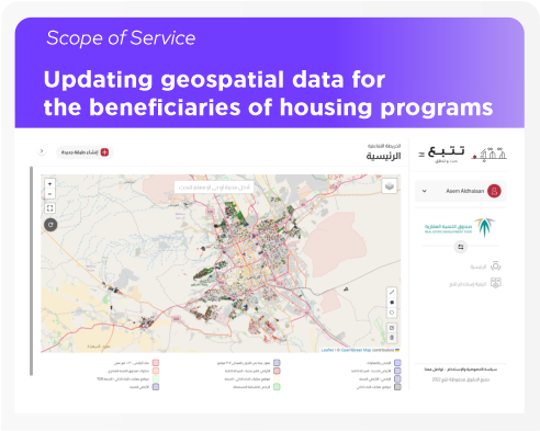
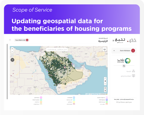
Below is a list of projects that demonstrate our capabilities: