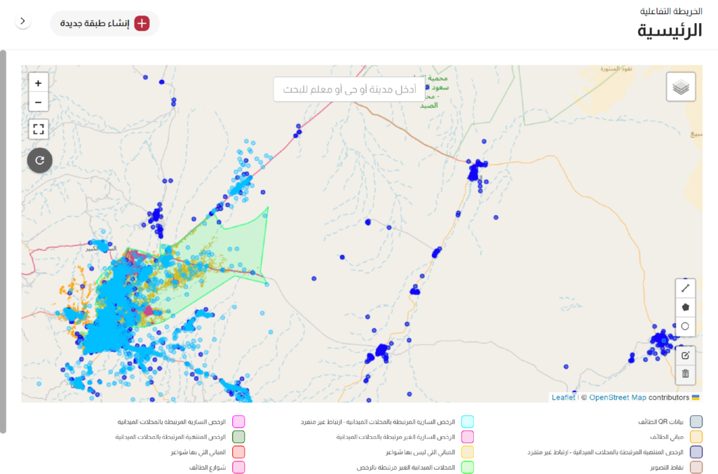
Linking Commercial License With Their Actual Locations
Section
Description
1
Owner
MOMRAH
2
Project Objectives
To increase the level of location accuracy for commercial licenses from 33% to 100%
3
Main Challenges
Commercial licenses had been produced by different Amanah's manually or through
systems using different SDIS
4
Spatial and Municipal
Sector Experts
Conducting a basic field survey to understand the reality and provide some essential information f or experts in the spatial sector.
5
Spatial Data
Scientists & Al
Developers
Developing field survey templates and methodologies for processing and desk documentation.
6
Status of the Project
Preparing the necessary data infrastructure to manage the work of field and desk teams through a guided field survey methodology. Different tools from SamrtSAT and SmartStreets had been interchangeably used in this project.
7
Field And Desk
Survey Teams
Starting field survey and photography work in parallel with desk processing and documentation operations.
8
Status of the Project
Under implementation - One city has been delivered.
RESULT
Updated databases for valid commercial licenses linked to their correct locations.
Updated databases for undocumented commercial licenses or those registered in incorrect locations.
Completing the documentation work for the entire Taif city in just 14 days.