Is a set of Al tools that have been designed and developed to extract data from satellite images. These Al tools range based on the kind of objects they detect, or on the nature of location in which they are supposed to operate.
Pipeline to Determine Building
Heights from Remote Sensing Data
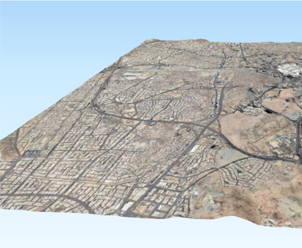
Our pipeline commences with the utilization of high quality building footprint data, establishing a dependable base for determining building heights. The identification of building heights is accomplished through sophisticated remote sensing techniques, leveraging essential input from top-notch topographic data.
Builtup Feature
Extraction from
Remotely Sensed
Images
We pinpoint the most appropriate features within remotely sensed data. Subsequently, our in-house Al models systematically categorize and extract built-up features, including roads and buildings, from the scrutinized remote sensing data.
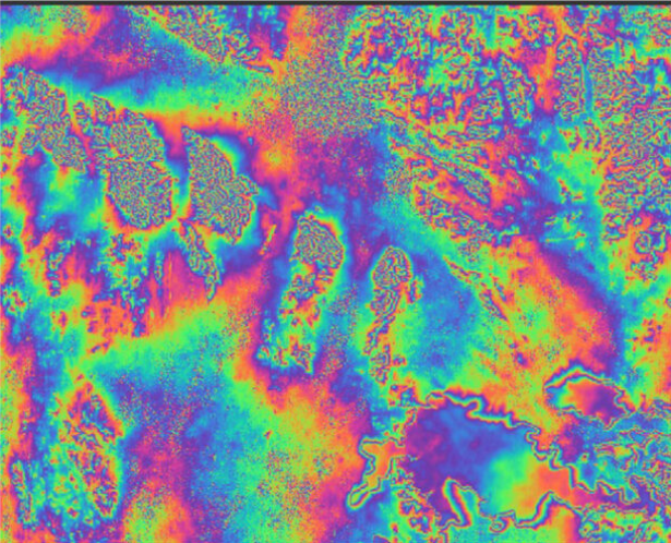
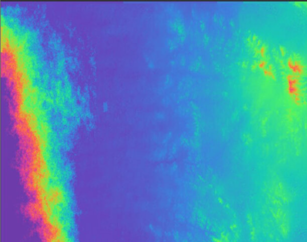
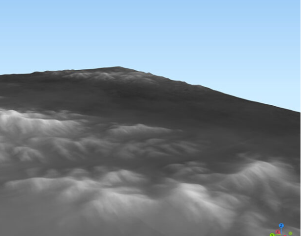
Pipeline to Produce In-House Digital
Surface Model from SAR Images
Digital Surface Models (DSMs) are generated from Synthetic Aperture Radar (SAR) images at a coarser resolution. Our advanced pipeline excels in producing in-house DSMs, offering a comprehensive view of the terrain through the utilization of Synthetic Aperture Radar (SAR) imagery.
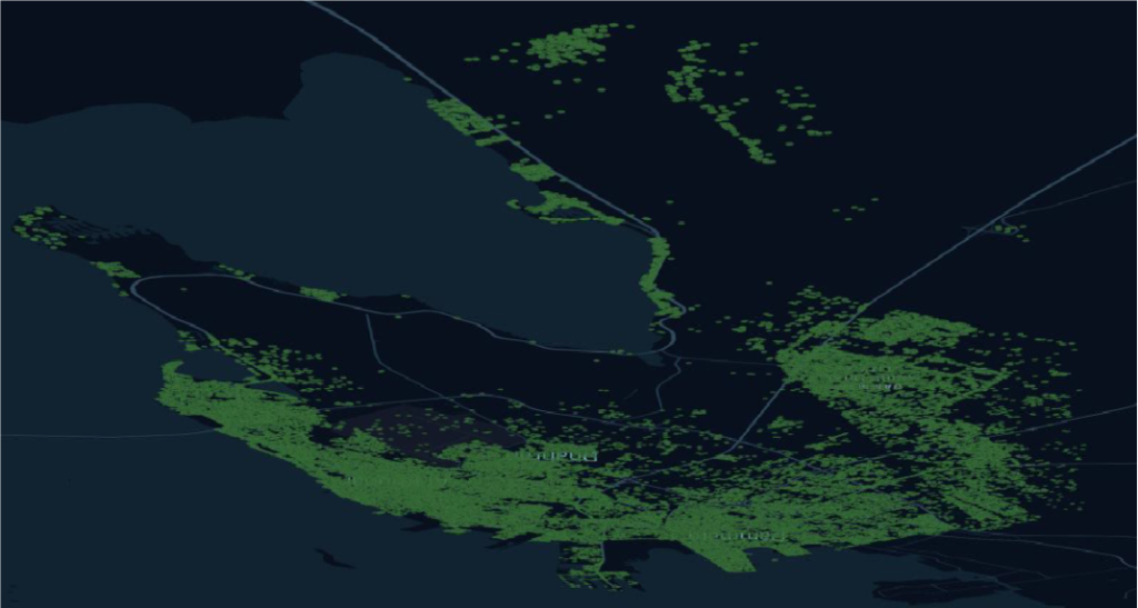
Urban Heat
Island Analysis
Conducting a comprehensive Urban Heat Island (UHI) analysis extends beyond surface level temperature observations, offering insights into the fundamental causes of temperature changes. The results of our analysis contribute valuable information that aids urban planners, policymakers, and environmental researchers in making informed decisions concerning temperature variations.
Vegetation Extraction from Remotely Sensed Images
With the proficiency to execute precise vegetation feature extraction through advanced algorithms and remote sensing expertise, we contribute significantly to environmental studies, land management, and ecological assessments. Our specialized knowledge in vegetation extraction enables us to offer detailed insights derived from remotely sensed images, enhancing the understanding of vegetation dynamics in various applications.
SAT Images
Enhancer
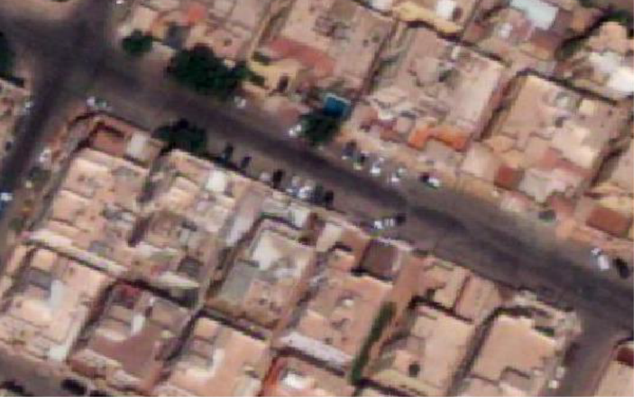
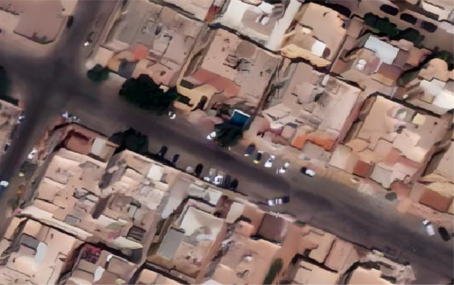
Transforming satellite imagery, our technology assigns a pixel to every 0.18 meters, enhancing detail and precision beyond the industry standard of 0.3 meters.
Input Image
Real-ESRGAN output
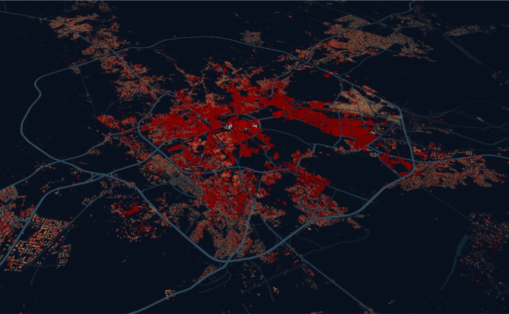
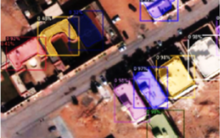
Building Light
Segmentation
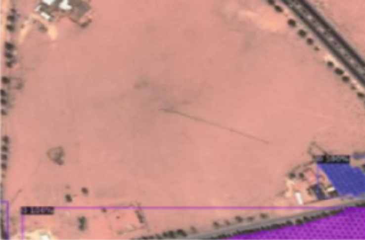
Our unparalleled accuracy in building segmentation with our technology, ensuring precise identification and analysis of structures from satellite imagery.
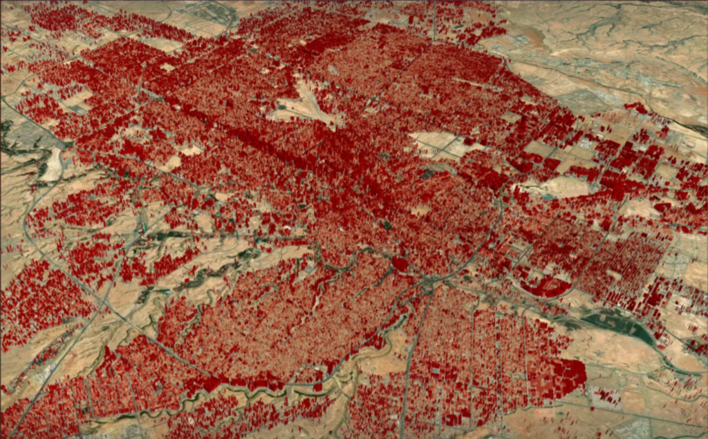
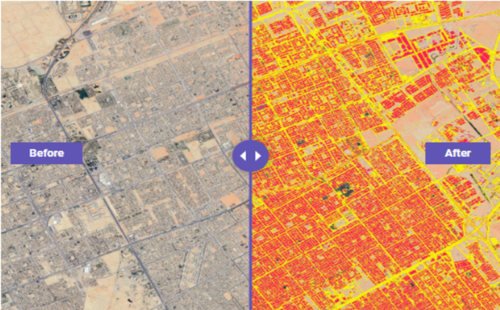
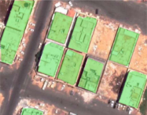
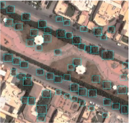
Building Advanced
Segmentation
Building segmentation capabilities with our advanced technology, offering unparalleled precision and detail for com prehensive urban planning and analysis.
Trees Detection and
Segmentation
Detection and segmentation tasks with our cutting-edge technology, delivering accurate and efficient identification of trees in satellite imagery for improved forestry management and environmental monitoring. The following information is determined for each tree using SmartSAT: 1. Location coordinates. 2. Tree diameter. 3. A unique identification number for each tree.
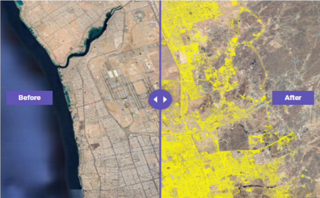
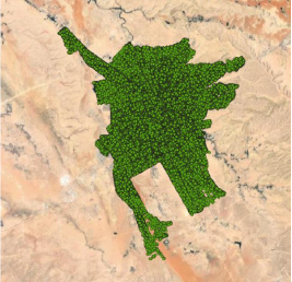
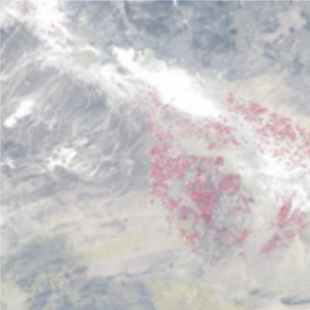
Identifying the organized vegetation cover
(agricultural axis activity)
in the Al-Jouf region,
Al-Basitah since 1984.
NATURAL VEGETATION DETECTION AND
SEGMENTATION
Detecting natural vegetation segmentation with our advanced technology, providing precise identification and analysis of vegetation patterns in satellite imagery for ecological studies and land management.